Geographic Information System - GIS

faceless, will utilize geospatial technology by ESRI—the global leader in GIS software and location intelligence—to bring cutting-edge geospatial technology into the heart of our solutions. ESRI’s enterprise-grade mapping tools empower us to create dynamic, interactive GIS maps and databases that visualize complex data in real time. By leveraging ESRI’s geographic approach, faceless can analyze and predict disease patterns, track the spread of epidemics and pandemics, and deliver actionable insights that support timely public health responses. This partnership allows us to transform raw data into powerful, location-driven intelligence that helps communities prepare for, respond to, and recover from health crises.
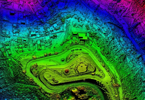
Rooted in the science of geography, GIS integrates many types of data. It analyzes spatial location and organizes layers of information into visualizations using maps and 3D scenes. With this unique capability, GIS reveals deeper insights into data, such as patterns, relationships, and situations helping users make smarter decisions. GIS data visualization display and decision are important aspects of all data produced by faceless.
GIS allows for the visualization of multiple layers of geographic data to provide an easy means to present and interpret it. Complex spatial analysis and queries can also be performed within and among data in a GIS to locate new trends and reveal relationships.
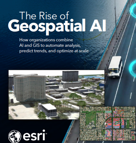
Presented below are three brochures that highlight the important aspects of GIS to GeoHealth and disease surveillance, public health preparedness, and the emergence of Geospatial AI. Please select the brochures below to view their full content online. The brochures are available for illustration purposes only and are the proprietary and copyrighted creations and properties of ESRI, with all rights reserved.
Artificial Intelligence - Al
Recently, faceless, and its associated system components, were significantly impacted by the paradigmatic, technological, and cultural shift brought about by the ubiquitous availability of artificial intelligence. AI will allow accomplishment of public and individual health objectives far more readily than envisioned.
As background, AI refers to the simulation of human intelligence in machines that are programmed to think and act like humans. This includes capabilities like learning, problem-solving, and decision-making. Essentially, AI aims to enable computers to perform tasks that typically require human intelligence. AI mimics human intelligence by replicating human cognitive functions using mathematical and logical principles to simulate human thought processes. A key aspect of AI is its ability to learn from data and experience, improving its performance over time without explicit programming for every task. AI has a wide range of applications of benefit to GeoHealth, including image recognition and data analysis. While AI can automate tasks, it's distinct from simple automation, involving more complex reasoning and decision-making processes. Note that the definition of AI is broad and rapid evolving, with some interpretations focusing on the sophistication of the reasoning and decision-making involved.
Al and Prodromic Surveillance
Through AI, integration of multiple data sources will augment detection of disease processes or prodromes that declare themselves in advance of the normal clinical and laboratory data. Thus, Prodromic Surveillance will lead to more rapid response to an early population-based awareness of the onset and spread of illness.
 faceless


